Geography and climate
|
|
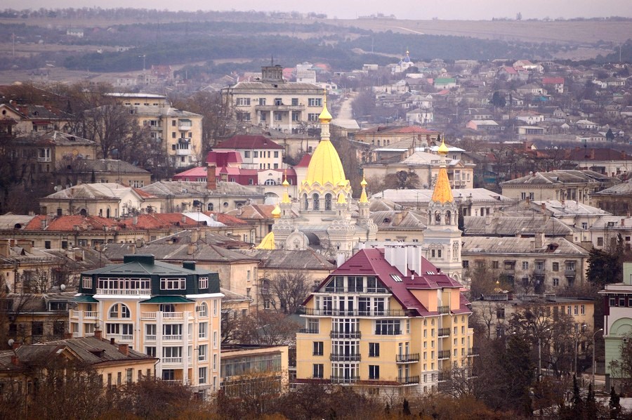
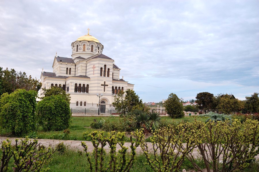
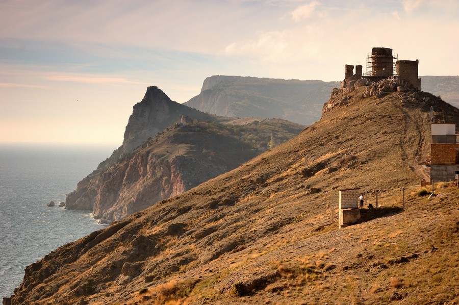
The city of Sevastopol is situated in the southwestern part of Crimea on the Herakleian Peninsula. The territory of the city is characterized by challenging terrain and uneven housing development. |

|
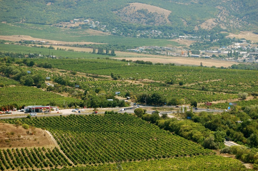
The total area of the city is 1,079 square km, of which the land is 863 sq. km (12% of which are inhabited, 32.3% are agricultural zone, and 41.0% are forests and mountains), and the total territory of water bays is 216 sq. km. Altitude: from 0 to 100 m (50 m on average). |
|
|
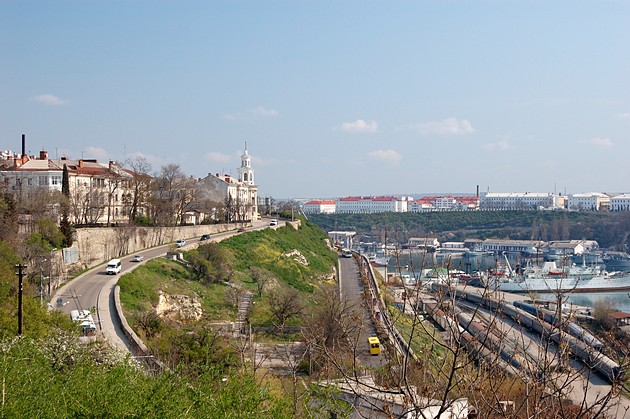
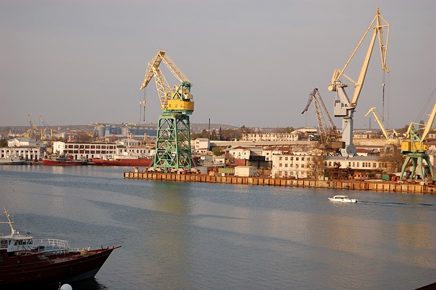
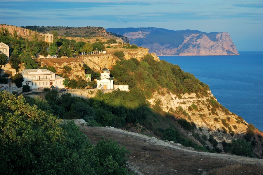
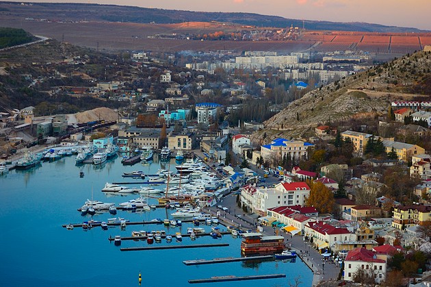
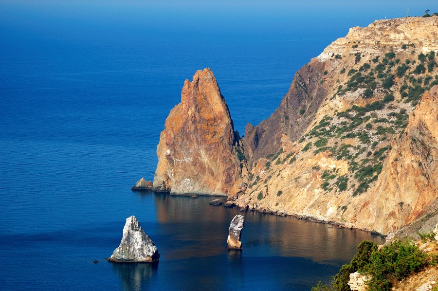
Sevastopol has a unique coastline consisting of many bays. |
|
|
The climate of Sevastopol is close to subtropical one that is typical for the southern coast of Crimea. Precipitation (mm/year): precipitation during the year falls evenly - from 280 to 400 mm/s. |
|
|
The average monthly temperature throughout the year is positive. The coldest month is January (with an average temperature of +1.3 C), and the warmest month is July (with an average temperature of +23.2 C). The temperature of the surface water layer of the Black Sea at the coast of Sevastopol is always above zero, and it is 22.2 C in July. |

|
Number of sunny days in a year: 300. |
|
|
Water resources: there are 42 freshwater reservoirs and 3 main rivers: Belbek (length: 63 km; water intake area: 505 sq. km), Kacha (length: 69 km; water intake area: 573 sq. km), and Chornaya (length: 34 km; water intake area: 436 sq. km) - in the Sevastopol Region. |